Environmental Solutions & Innovations leverages cutting-edge Geographic Information Systems (GIS) and remote sensing technologies to deliver precise, data-driven environmental consulting solutions. Our advanced spatial analysis capabilities support everything from regulatory compliance to complex ecological modeling, helping clients make informed decisions with confidence.
Comprehensive GIS Solutions for Environmental Projects
Geographic Information Systems form the backbone of modern environmental consulting. At ESI, we integrate GIS technology into virtually every project, transforming raw spatial data into actionable insights that drive project success.
Our GIS services span the full spectrum of spatial analysis needs:
Cartographic Services & Data Visualization
- Custom mapping for environmental site assessments
- Regulatory compliance mapping for permitting applications
- Interactive web-based mapping platforms for stakeholder engagement
- High-resolution site plans and survey integration
Advanced Spatial Analysis & Modeling
- Habitat suitability modeling for wildlife management
- Watershed analysis and stormwater management planning
- Environmental impact assessment modeling
- Land use change analysis and development planning
Database Development & Management
- Custom geodatabase design for long-term project management
- Data standardization and quality control protocols
- Multi-platform data sharing and collaboration tools
- Legacy data migration and modernization

Drone Technology & Remote Sensing Capabilities
ESI maintains a comprehensive unmanned aerial vehicle (UAV) fleet featuring both quadcopter and fixed-wing platforms equipped with state-of-the-art sensors. Our FAA-licensed commercial drone pilots combine scientific expertise with cutting-edge technology to deliver exceptional results.
High-Precision Data Collection
- Real-time kinematic (RTK) GPS positioning with 3-centimeter accuracy
- Orthomosaic mapping for large-area surveys
- Three-dimensional terrain modeling and volumetric analysis
- Multi-spectral imaging for vegetation health assessment
Specialized Applications
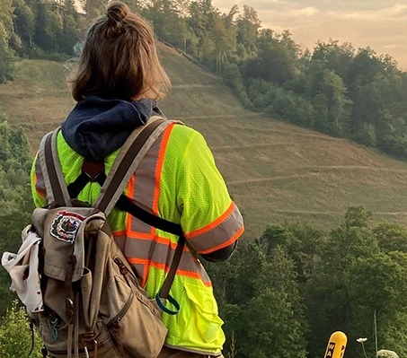
- Wildlife Surveys: Non-intrusive population monitoring and habitat mapping
- Cultural Resource Investigations: Detailed site documentation and feature identification
- Infrastructure Assessment: Bridge inspections, utility corridor mapping, and facility monitoring
- Environmental Compliance: Wetland delineation, erosion monitoring, and restoration tracking
Cloud-Based Data Management & Security
Our secure, cloud-based data collection and management system revolutionizes how environmental data is gathered, processed, and shared. This integrated approach reduces transcription errors, accelerates project timelines, and ensures data integrity throughout the project lifecycle.
Streamlined Workflows
- Real-time field data collection through mobile applications
- Automated quality control and validation processes
- Seamless integration between field teams and office analysts
- Instant data synchronization across multiple platforms
Enhanced Collaboration
- Web-based data access for client review and input
- Multi-user editing capabilities with version control
- Customizable reporting dashboards and data visualization
- Secure data sharing protocols for sensitive projects
Industry Applications & Expertise
ESI’s GIS and remote sensing capabilities support diverse industry sectors with specialized solutions tailored to each field’s unique requirements:
Environmental Site Assessments
- Contamination mapping and plume modeling
- Historical land use analysis through aerial photograph interpretation
- Groundwater monitoring network optimization
- Risk assessment visualization and stakeholder communication
Ecological Consulting
- Habitat connectivity analysis for conservation planning
- Species distribution modeling and migration corridor mapping
- Invasive species monitoring and management planning
- Restoration site selection and success monitoring
Civil Engineering & Development
- Site suitability analysis for development projects
- Stormwater management system design and modeling
- Transportation corridor planning and environmental impact assessment
- Utility infrastructure mapping and conflict analysis

Technology Investment & Innovation
ESI champions continuous reinvestment in technology advancement, ensuring our clients benefit from the latest innovations in spatial analysis and remote sensing. Our commitment to process improvement translates directly to optimized data collection, reduced costs, and faster project delivery.
Our technical capabilities include:
- Advanced statistical analysis and predictive modeling
- Machine learning applications for pattern recognition
- Integration with industry-standard software platforms
- Custom application development for specialized needs
Ready to Leverage Advanced GIS Solutions?
Transform your environmental project challenges into data-driven opportunities with ESI’s comprehensive GIS and remote sensing services. Our team of licensed professionals combines decades of environmental consulting experience with cutting-edge spatial technology to deliver results that exceed expectations.
Contact ESI today to discuss how our advanced GIS capabilities can support your next project. Call 513-451-1777 or visit our Cincinnati office at 4525 Este Avenue to schedule a consultation with our spatial analysis experts. Let us show you how precise data collection and innovative analysis can drive your project’s success.